Project / 2018 - 2021
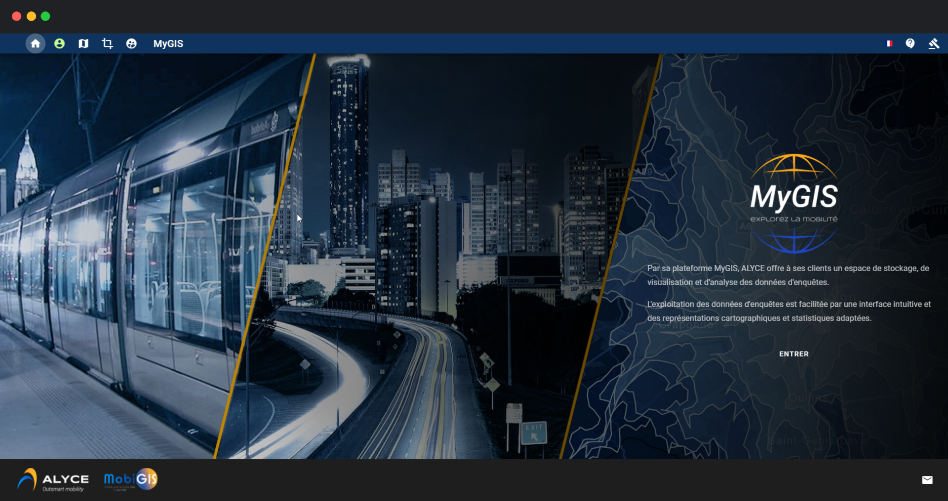
MyGIS
Alyce web platform for visualizing, analyzing and exporting mobility data collected in the field.
After a year of work-study at MobiGIS, I joined the company as it was acquired by Alyce, the French leader in mobility data collection.
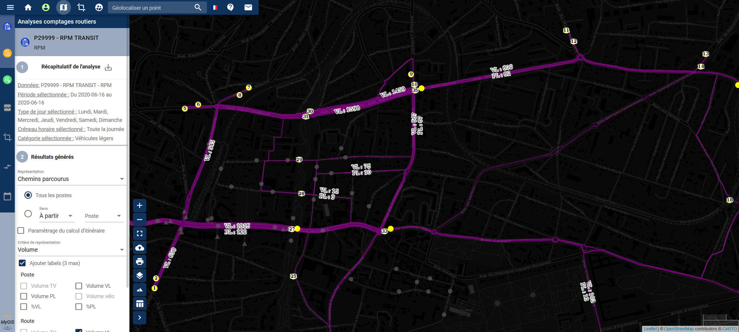
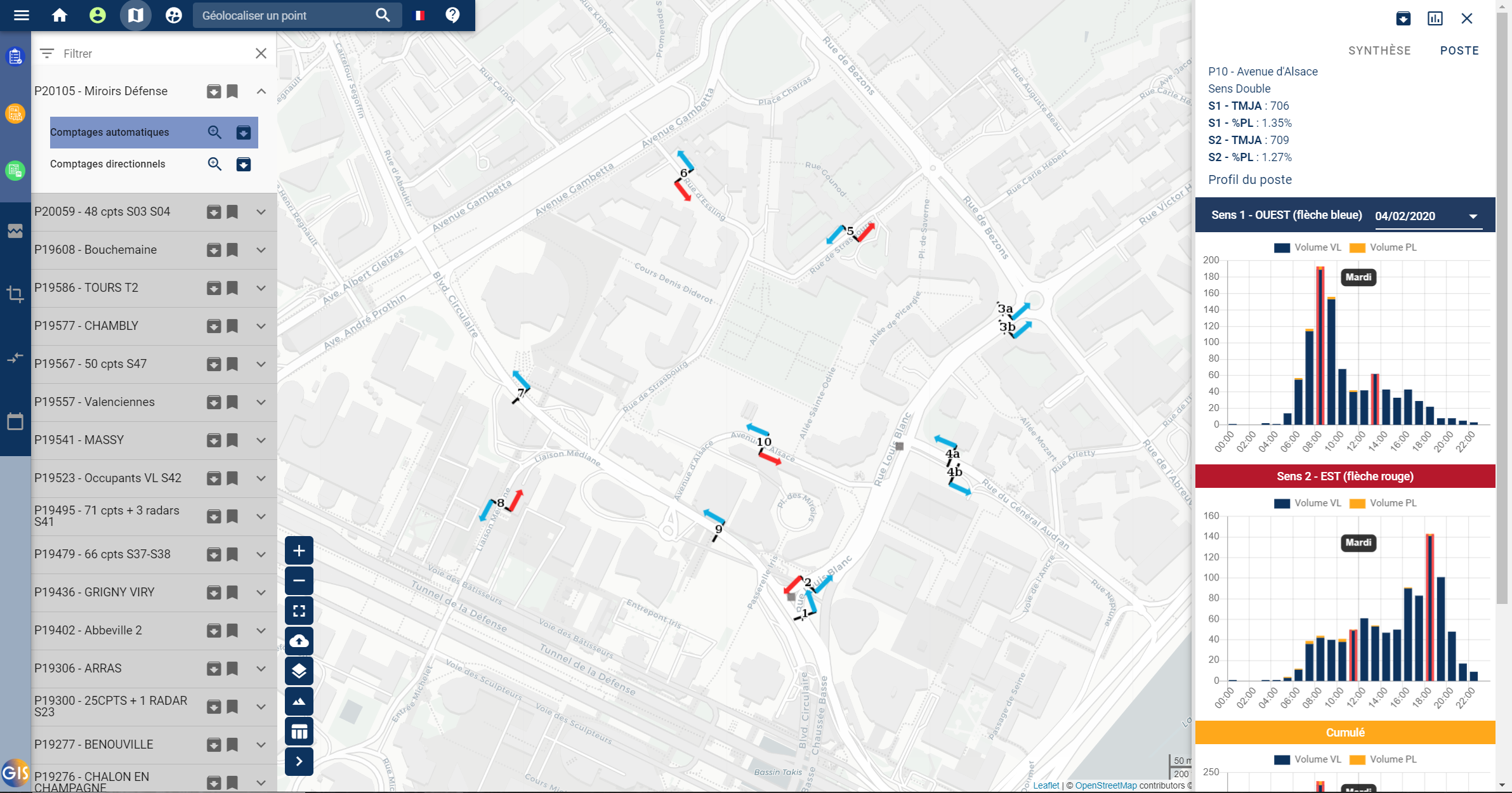
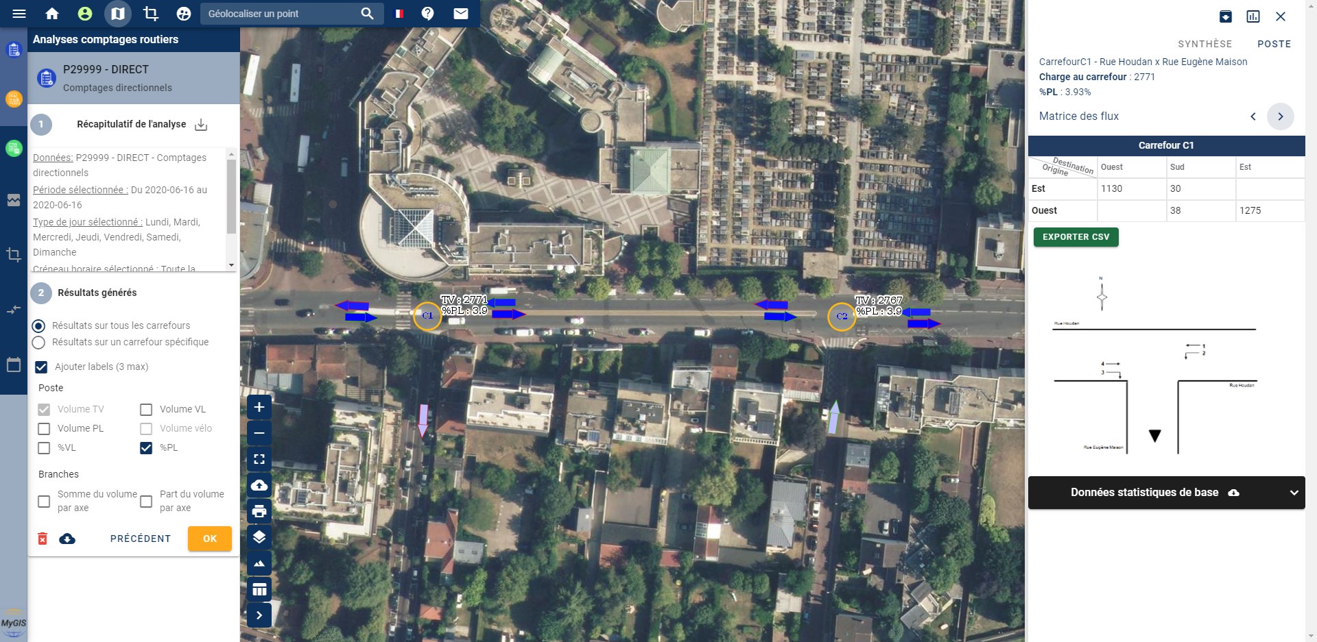
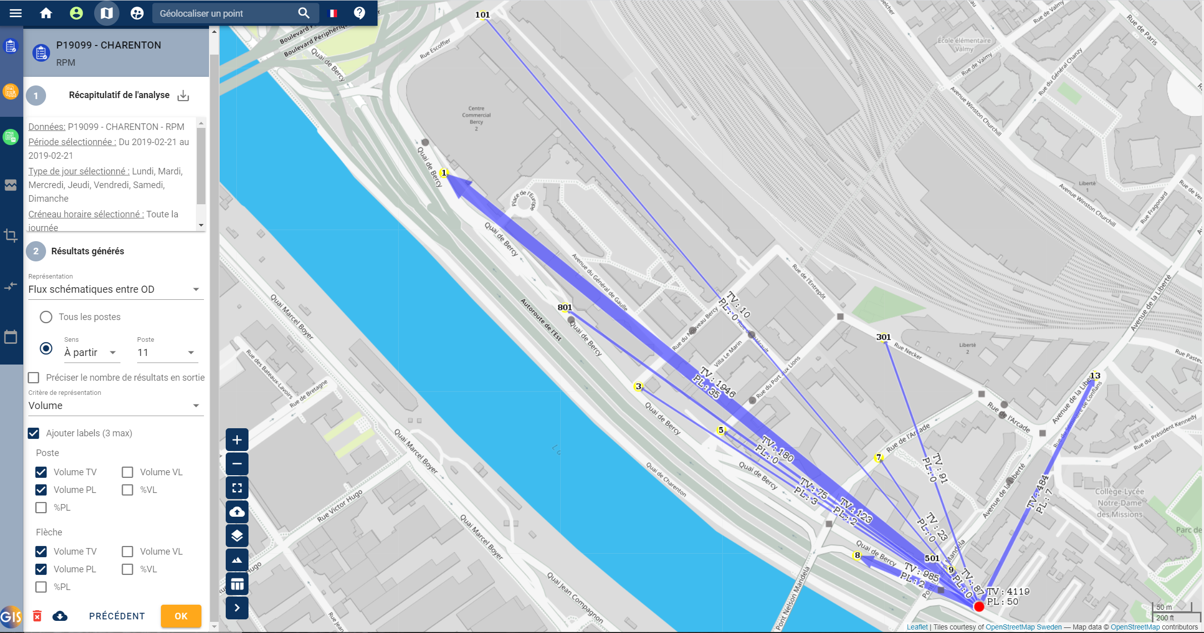
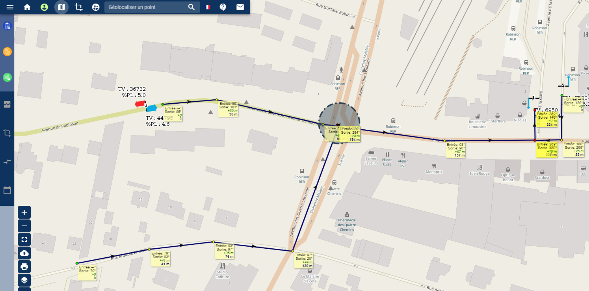
I joined the team developing MyGIS, a strategic project supporting the digital transformation of Alyce’s established business. MyGIS enables Alyce’s customers to interactively visualize and analyze mobility data collected as part of their studies.
I contributed to the architecture and infrastructure decisions, then built the web client and API from scratch. I designed the Vue.js and TypeScript frontend structure, components, state management and navigation, and developed interactive map visualizations with Leaflet and custom layers in GeoServer.
I also created backend routes for PNG and PDF map exports, a command-line tool to convert Excel source data into a structured format for PostgreSQL ingestion, filtered data exports, and role- and scope-based access control.